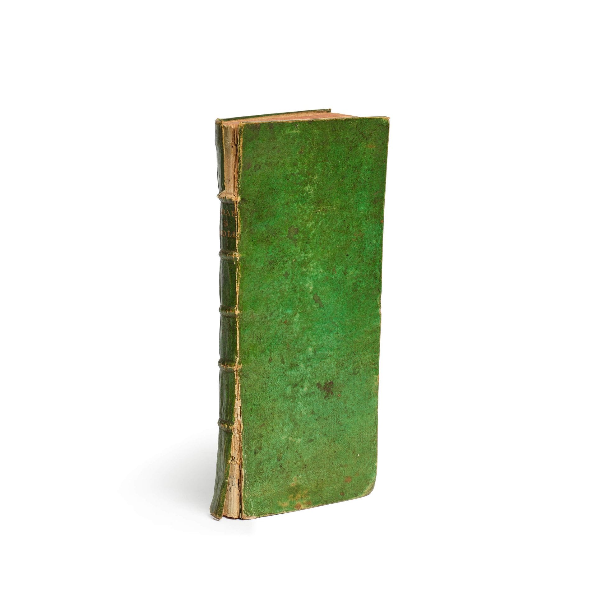
[ATLAS]. DHEULLAND (Guillaume). New Map of the Duchy of Brabant and Part of Holland. Paris: Published by Mr. Dheulland, undated [circa 1747]. Narrow 8vo, green vellum, ribbed spine with gilt title (contemporary binding). 25 folded maps, including a “General Map” bearing the title and the “Table of the Twenty-Four Sheets or Detailed Maps of the Surrounding Area. ” The maps, in quarto format, have been folded into a narrow binding in the “form of a portable book, for the use of His Majesty’s military officers.” Binding damaged; slight water stain at the top of the first two folios. COPY IN WHICH THE MAPS HAVE BEEN PAINTED WITH WATERCOLOR LINES.
Estimate
€200 - €300
Buyer's premium
30%
[ATLAS]. DHEULLAND (Guillaume).
New Map of the Duchy of Brabant and Part of Holland. Paris: Published by Mr. Dheulland, undated [circa 1747]. Narrow 8vo, green vellum, ribbed spine with gilt title (contemporary binding).
25 folded maps, including a “General Map” bearing the title and the “Table of the Twenty-Four Sheets or Detailed Maps of the Surrounding Area. ”
The maps, in quarto format, have been folded into a narrow binding in the “form of a portable book, for the use of His Majesty’s military officers.”
Binding damaged; slight water stain at the top of the first two folios.
COPY IN WHICH THE MAPS HAVE BEEN PAINTED WITH WATERCOLOR LINES.
Sale
Tuesday 10 November・14:00 (Europe/Paris)
Salle 1 - Hôtel Drouot
9, rue Drouot
75009 Paris